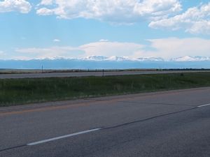
The Bighorn Mountains near Buffalo and Sheridan, WY. Snow!
Jim's home | Motorcycle home | 10k Home
Southern Minnesota and much of South Dakota were in the Great Plains. The trees of the east disappeared pretty quickly heading west. I thought my first view of "real" mountains was seeing the Black Hills in SD. Rocky, covered with evergreens, made me feel I was West again. But the first snow covered mountains I saw were the Bighorn Mountains near Buffalo and Sheridan, WY. I actually whooped and hollered when I saw them. I hit rain approaching them but saw blue sky coming up beyond them so just powered through rather than putting on rain gear. Didn't get too wet and dried out quickly after hitting blue skies. The Chief Joseph Scenic Highway takes you up over many mile long area above 9,000'. When climbing up that grade I felt a bit forlorn looking back, saying goodbye to the Great Plains, the East, the whole trip really. Gotta move on though. The grade down from that place on Rte 14A (A for alternate though I have seen roads on this trip where letters B through F were used) is legendary. Long and steep, tough for motorhomes when ascending.

The Bighorn Mountains near Buffalo and Sheridan, WY. Snow!
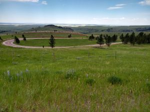
Nothing like a well engineered modern road with perfect pavement winding thousands of feet up a mountain range.
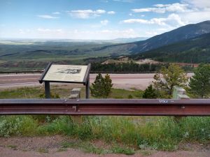
Looking back east into the Great Plains from an overlook in the Bighorn Mountains.
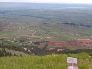
Look at that road down there.
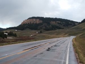
Heading up to the 9,000' high areas.
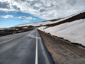
Here's that snow I saw from so far away.
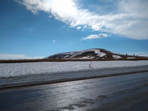
The snow was several feet deep on the side of the road here. I wondered how bad it would get.
After descending down to Lovell, WY I bought some supplies for dinner and headed up Rte 37 into the Bighorn Canyon National Recreation Area. Found a campsite near a reservoir that was pretty spartan. There were bathrooms and hose bibs though. I camped for free even though a Ranger drove around a time or two. Lightning against purple skies was still visible back where I rode through rain. Winds were cyclonic that evening. Had to put big rocks in my tent since the ground was too hard to stake the tent down. I need to get better at making dinner. My fake crab meat, broccoli, onion, rice stir fry was not delicious.
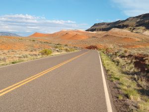
Park road leading into my campground.
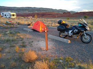
The rather spartan campground. No trees.
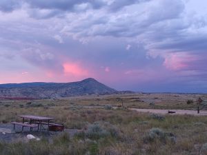
Storm clouds to the northeast. Plenty of lightning going on back there.
The scenery on the Chief Joseph Hwy between Ranchester and Lovell, WY, and Route 296 over Dead Indian Pass is spectacular. I took too many pictures. I was looking forward to riding Beartooth Hwy, but its pavement was terrible and there was lots of gravel on the road. Not for me.
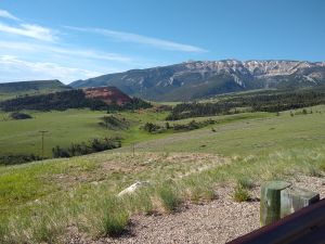
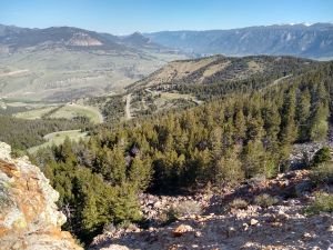
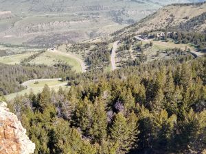
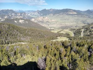
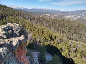
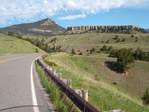
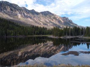
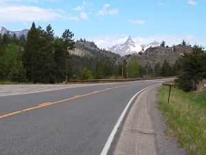
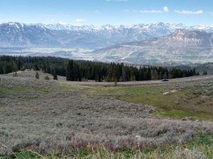
Southwestern view from the short bit of Beartooth Highway.
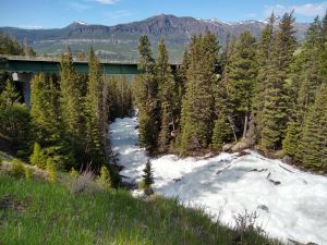
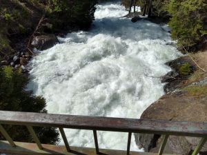
An absolutely raging river off the Beartooth Highway.
So, on through Yellowstone Park to get to Montana. I should have known better. What a zoo. Parades of cars that stop in the middle of the road to gawk at a bison or a bear. Can't blame them I guess. I did my usual quick pass of a car over a double yellow line and found myself behind a park ranger! I thought maybe they didn't see me, but they pulled over, then got behind me and pulled me over. Nice lady park ranger. Took me about 5 minutes to take gear off my seat to reach my registration stored under it. She asked me if there was any reason why I passed illegally. I said "No good reason". After checking me out on the computer and her radio she just issued me a warning saying she understands how frustrating driving through the park can be. She said she would have given me a ticket had there been oncoming traffic. I thanked her and silently thought she has a pretty terrible job.
My plan was to go south over Dunraven Pass in the park, head out the east park entrance, then head up Rte 191 through the Gallatin mountains to backroads that roughly paralled I90. Dunraven pass is on its second year of being closed for repairs, so I had to head north. I hate driving in the Yellowstone Park, and went out the north entrance into more cyclonic winds. My plan to avoid I90 via other back roads was thwarted by construction signs advising motorcyclists to seek alternative routes. Oh well, more time on interstates with 20+ mph side and head winds and some heavy rain over the Gallatin mountains. Dried out quick on the other side though.
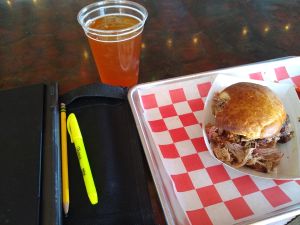
I discovered Follow Yer' Nose BBQ's Smokewagon on Rte 89 north out of Yellowstone. Very good BBQ with an excellent selection of beers.
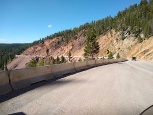
Somewhere between Yellowstone Park and Missoula, MT.
Am now in a motel in Missoula having morning coffee and pondering the rest of the route home. I think I want to take the northern route home through WA, leading to the Port Townsend ferry. So instead of doing the famous Lolo Pass road I'll head north and do Rte 50 west out of St.Regis, ID and then Rte 97 along Coeur d'Alene Lake. Then somehow across NE WA to the North Cascades Hwy. Probably will have one more night on the road.