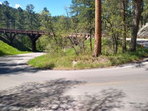
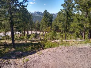
Rte. 16A in the black hills. Crazy spiral roads over trestle bridges.
Jim's home | Motorcycle home | 10k Home
The next destination was the curvy roads in the Black Hills and Custer Park. I did Rtes 16 and 244. They were very good sport bike roads complete with narrow tunnels and spiral routes over trestle bridges. I didn't do Rte 87 because it would have cost $20 to enter that part of the park. "But it's good for 7 days", the park ranger lady said. "But I'm only here for the next few hours", says I. I even got on a little rant about such fees being discriminatory. That fell on deaf ears and I realized I might be sounding like a wacko. After 30 days on the road I may be one. I did get close to Mt. Rushmore without having to go through the long lines at park entry points to actually see it.


Rte. 16A in the black hills. Crazy spiral roads over trestle bridges.
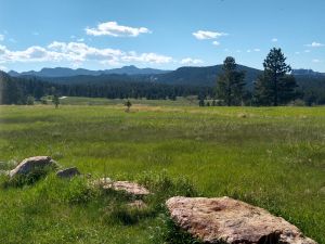
The Black Hills.
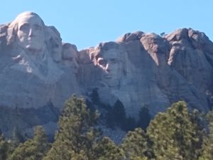
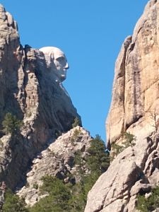
Mount Rushmore. Surprised I got this close without paying any money.
The sun was getting low, so I headed north towards campsites I marked on my map. Indeed I scored a beautiful site on Pactola Reservoir. No showers, so I bathed with my ivory soap in the lake and did laundry there too. Underwear and socks flapping in the wind under a bunjie on my bike the next day.
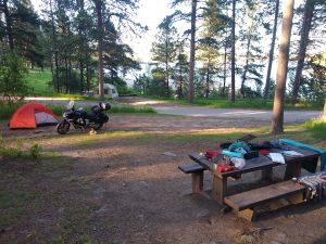
My campsite on Pactola Reservoir.
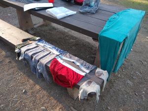
Ah, clean clothes. Maybe not dry, but clean.
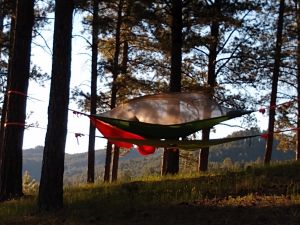
Interesting triangular hammock.
This morning I rose before sunrise and started breaking camp. Next destination road was 14A leading north to Spearfish, SD. Truly a spectacular road scenery wise, also very curvy. Tall cliffs, waterfalls, river with rapids. Then it was on to Devil's Tower. I made it through the line into the park and once again joined the throngs doing the 1.3 mile walk on a paved trail around the tower. It's really spectacular. Apparently the biggest known Basalt columns on the plant. Friend Frank climbed it around 1980 with a few friends. I called him to ask him which face he climbed. He could only remember the route name, which I can't now. Looks like it would have been a lot of chimneying.
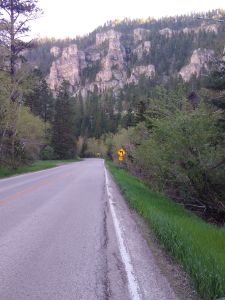
Canyon road Alt 14 to Spearfish, SD.
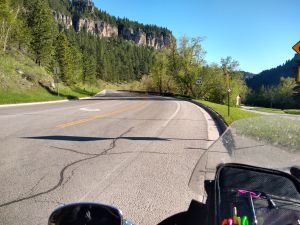
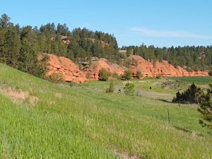
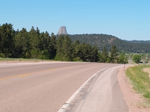
On the way to Devil's tower.
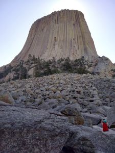
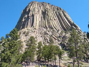
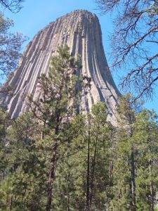
On the way out of Devil's Tower Park I stopped at a field inundated with prairie dog holes. There were lots of prairie dogs skittering about, disappearing into and popping out of holes. Wild!
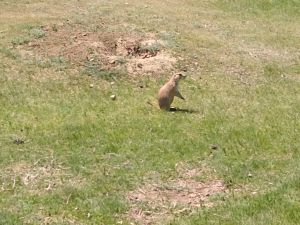
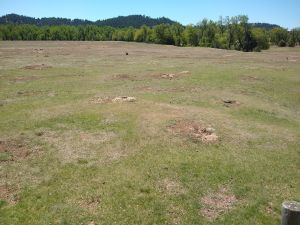
Prairie dog and holes.
Now in Gillette, WY sponging internet from a corporate chain restaurant drinking an IPA overly infused with mango. Next up, Chief Joseph Scenic Hwy, Beartooth Hwy and various others in those areas.
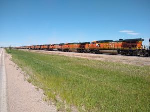
On the way to Gillette, I passed a massive railroad yard with many tracks filled with literally miles of trains made up of only engines. I didn't think there were that many train engines in the US.