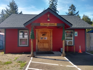
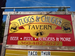
The Tuggs and Chuggs pub in greater Elma, WA. Haven't been inside yet, but some friends and I will have beers there at some point. Interesting name for this place.
Jim's home | Motorcycle home | PNW loop home


The Tuggs and Chuggs pub in greater Elma, WA. Haven't been inside yet, but some friends and I will have beers there at some point. Interesting name for this place.
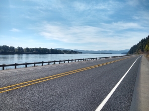
Rte. 4 on the lower Columbia.
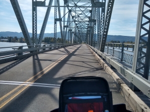
I crossed the Columbia via a fun little ferry that goes from Puget Island near Cathlamet, WA over to the OR side near Clatskanie, OR. It leaves the WA side at the top of every hour and cost me about $6. This picture shows the bridge from Cathlemet over to Puget Island.
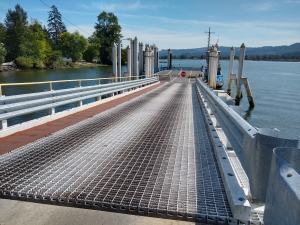
The ferry ramp.
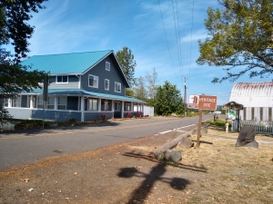
The historic area next to the ferry on Puget Island.
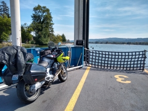
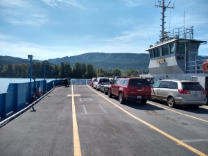
On the ferry with my Moto Guzzi Norge.
From there it was south to Mist, then west to Rte. 53 and Miami-Foley road down into Tillamook. Got groceries for dinner and did the seaside loop near Netarts. Then on to one of numerous campsites between Beaver and Carlton. I gotta say, Oregon has a much better campground system than Washington does. So many campgrounds in beautiful places. I'd ridden the Beaver-Carlton road years ago and remember it being a truly great sport bike road.
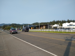
The visitor's center for the Tillamook creamery.
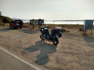
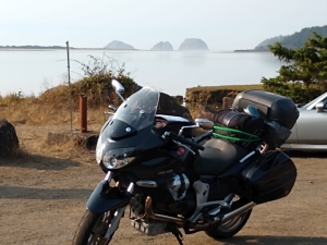
Scenes from Tillamook Bay. Seastacks in the background.
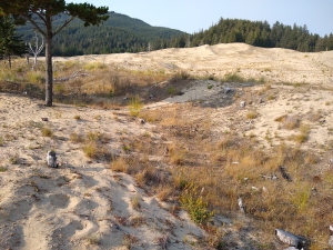
Sand dunes amongst the firs and cedars.
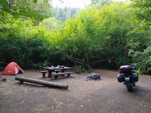
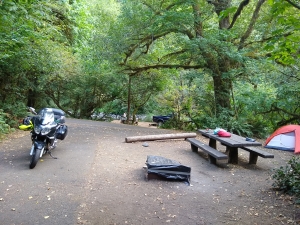
My campsite by the Nestucca River on Blaine Rd./Upper Nestucca Rd./NF-85.
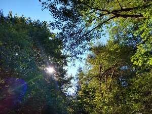
Woke the next morning to sunny skies.
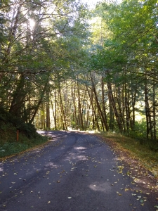
On to Carlton, OR.
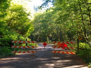
I'd seen a sign some miles back by an intersection of forest service roads that said "Road closed 11 miles ahead". Sometimes you can get through on a motorcycle even if the road is closed. Not so in this case. I backtracked to that intersection and took the alternate route. Not being 100% sure that this would prove to be a paved road through, I flagged down a truck coming my way and asked the guy driving it if this way went through and if it was paved. He confirmed that it does, then kindly waited until I restarted my motorcycle to make sure I was safely on my way. What a nice guy!
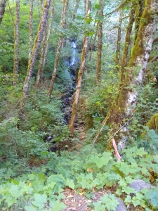
Road side waterfall.
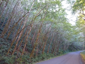
Pretty grove of alders with sword ferns.
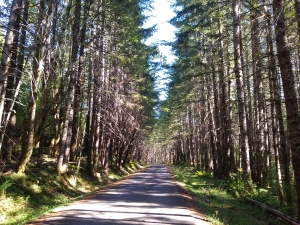
I love a good single-lane, paved forest service road.
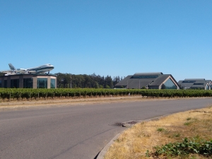
The 747 sitting on the building on the left is part of the Wings and Waves water park. A water slide comes out of the side of the 747! Alas, I did not have time to do the water park. A good reason to return though.
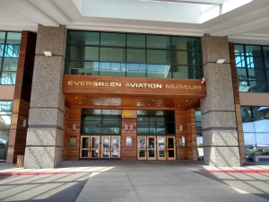
Main entrance.
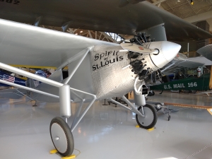
I didn't know that there were no forward facing windows in the Spirit of St. Louis. The pilot had to stick their head out of the side window to get a view forward.
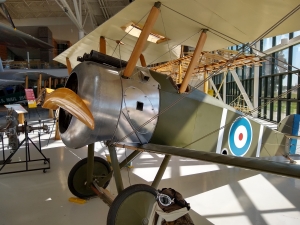
Snoopy's trusty Sopwith Camel.
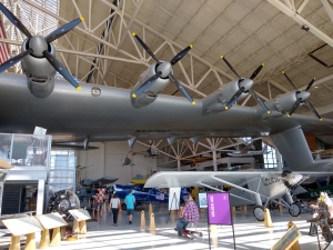
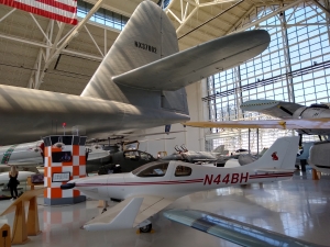
The ginormous Spruce Goose. You have to see it to truly understand its size.
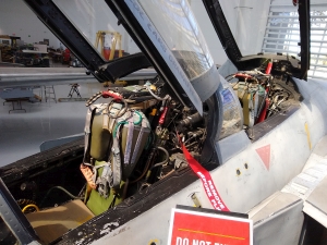
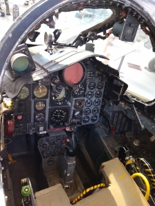
Cockpit of a death machine.
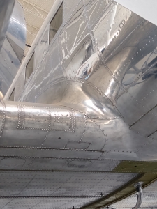
Amazing sheet metal work. I think this was a DC-3.
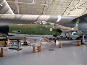
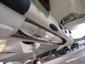
An F-105 designed to deliver a thermonuclear bomb at very high speeds. Bomb shown in second picture. They probably disabled it to be in the museum.
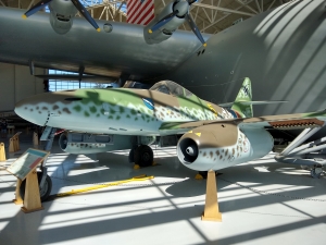
An ME-262. Germany's jet fighter used near the end of WW2.
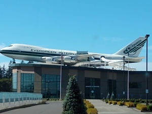
Look carefully at the back half of this 747. You can see the water slide.
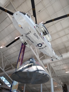
A Sea Horse helicopter hoisting an Apollo space capsule.
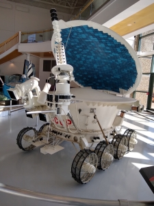
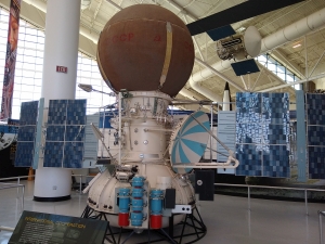
I like the Russian space crafts a lot. They have distinctly different design ideas that those from the US.
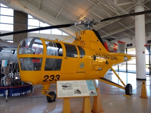
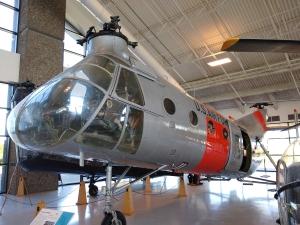
A Sikorsky helicopter, and the "flying banana".
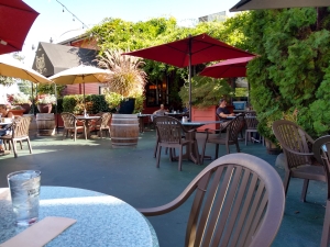
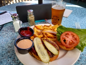
The Golden Valley Brewery and Restaurant in McMinnville. Good food and brews there.
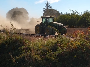
Saw quite a few farmers plowing dusty fields. Winter wheat?
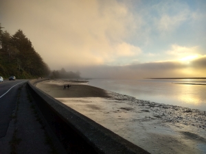
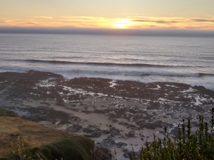
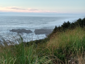
Scenes along the coast as the day ended. I found plenty of campsites, but they all had "Campsite full" signs. I was envisioning having to head up into the mountains to find a bootleg campsite, but eventually did find an open spot at Alder Dunes campground north of Florence. This after camping the night before at Alder Glen campground.
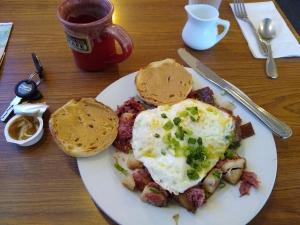
Breakfast at the Little Brown Hen Cafe in Florence. Local people were lined up outside before they opened. They said it was the best place in town for breakfast. It was indeed very good. Corned beef hash here.
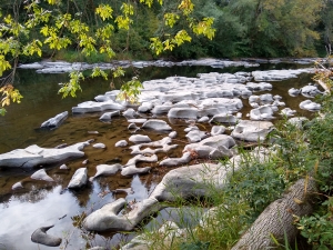
It was drizzly the next morning. Not wanting to get wet, I put on all my rain gear to ride the few miles in to Florence. Turned out I didn't need to as the drizzle stopped. From Florence I took Rte. 36 east towards Eugene. What a great motorcycle road! Winds along the Suislaw River. Lots of wayside areas to take a break, walk down to the water, etc. I stopped at a Cycle Gear store in Eugene to get a replacement screw that had rattled loose from my helmet's visor. Nice gal at the counter found one that fit and gave it to me. After I got home, I found that I had factory spares in my tank bag.
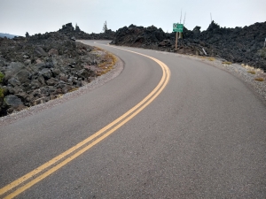
I'd planned to head east over the Cascades from Sweet Home, OR via Rte 20. Unfortunately 20 was closed for construction. Fortunately Quartzville Rd. and Straight Creek Rd. form an alternate route over to Rte 22. It's a longer route, but they're actually better sport bike roads. Hadn't been on them for a few years. Wow, they're great. So twisty, though Straight Creek road is what you'd call "technical". Lots of single lane stuff with 10-15 mph turns. My real goal was to get to Rte 242 over McKenzie Pass. I'd been over it once before and remember it being amazingly twisty. Indeed it is. There was a ton of traffic on it last time I was there. No traffic this time. Never encountered a car on it the whole way that was going in my direction.
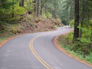
Rte 242 over McKenzie Pass. Look at those turns, that pavement, those trees!
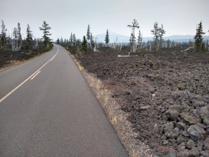
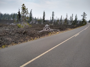
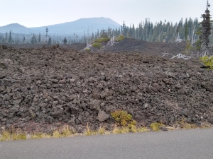
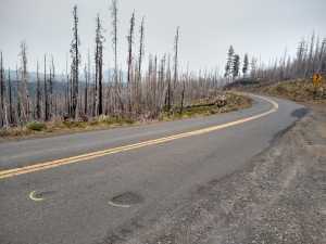
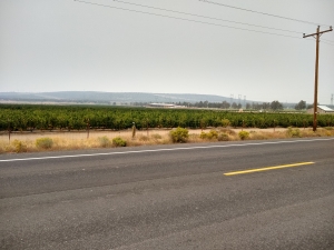
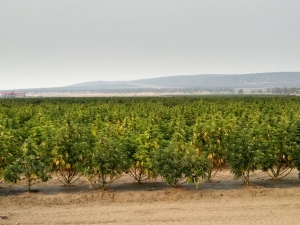
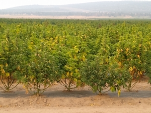
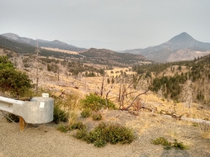
After escaping the Sisters/Redmond/Prineville quagmire it was off to the Strawberry Mountains and Blue Hills of eastern OR. There was a bit of forest fire smoke in the air here. This was the only real smoke I encountered on the trip.