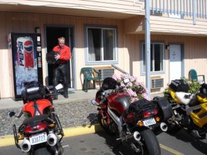
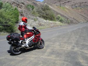
Morning in Hood river, getting ready to head out for the day's ride south.
Jim's home | Motorcycle home | This ride's home
Morning in Hood river, getting ready to head out for the day's ride south.
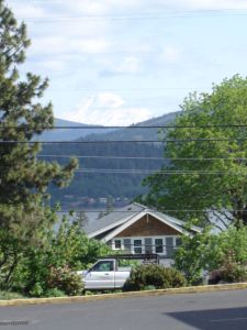
Hood River has some beautiful old houses.
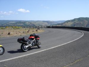
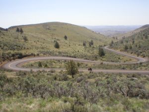
Arriving at the lookout over an incredible series of turns on the side-road between Mosier and Rowena.
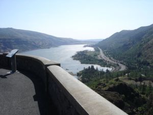
Looking east up the Columbia River from the overlook.
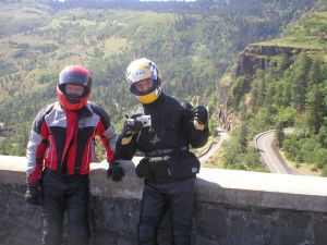
Dave and Joseph looking forward to the road below.
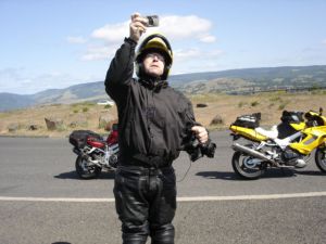
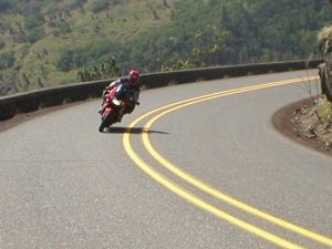
Me (Jim) taking a picture of the curves below.
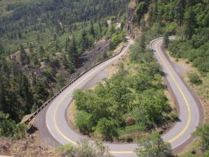
A nice horse shoe bend. Very high quality pavement, no gravel, light traffic.
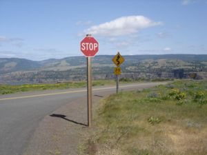
Note the caution sign warning of curves to come.

Joseph.
Dave.
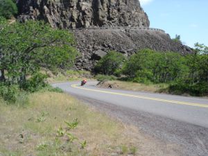
Dave entering the horse shoe bend.
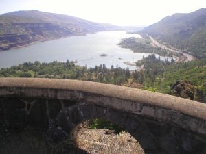
Looking east up the Columbia again. We went up and down this curvey stretch a few times.

Dave.
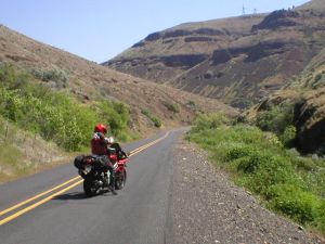
After taking OR Rte. 197 south out of Biggs, we rode Rte. 216 east from Tygh Valley to Grass Valley. Here's Dave as we entered the fun part of this road.
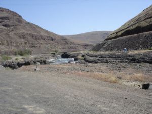
The Deschutes river flows through this Basalt canyon.
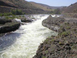
A nice class 4 or 5 rapid/waterfall in the canyon.
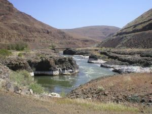
Basalt rock with some wierd white mineral deposits at the water level.
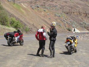
Joseph explains to Dave how to wear a helmet properly.
Dave getting ready to ride out of the canyon. Quite a few twisties ahead to get back up to the high plains.
Rte. 97 between Shaniko and Antelope was simply awesome. While this curve was pretty extreme, the entire eight mile stretch was curvey like this.
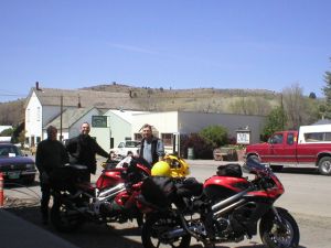
Parking bikes at the town of Fossil. This area of Oregon is known for its fossil beds. The John Day Fossil Beds National Monument has three "units" in this area that are pretty fascinating (Painted Hills, Clarno and Sheep Rock).
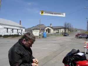
Removing ear plugs before lunch.
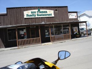
Lunch at the Big Timber restaurant. It was pretty good. Met some other riders there from Sun River, OR.
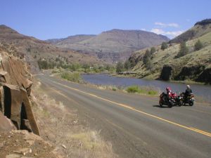
Somewhere around the towns of Spray and Kimberly on Rte. 19 along the North Fork of the John Day River.
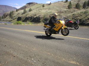
Joseph wheelieing.
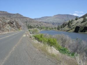
Another shot along the John Day.
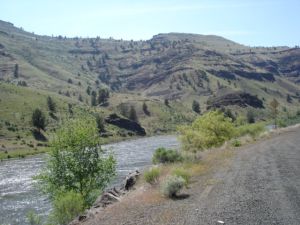
Another shot along the John Day.
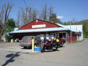
Gas stop in Monument. Joseph's bike has a range of just over 100 miles, which in this part of Oregon made it a little dicey planning where and when to stop for gas. There just aren't many towns with gas out here. Gas stations also close early in some towns.
Heading east up a low mountain pass near the town of Hamilton.
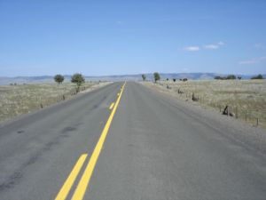
Approaching Long Creek the road was really straight and flat with great visibility to the sides. I got the Aprilia up to 145 mph not realizing that it wasn't in the highest gear. Joseph later told me he got up to 165 on his Superhawk.
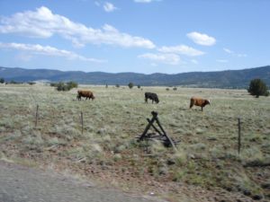
Cows, safely on the other side of fences. We did go through sections of "open range", where no fences separate livestock from the road.
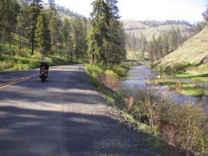
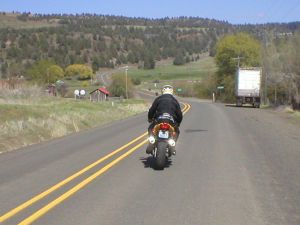
Heading north up Rte. 395 from Long Creek to Ukiah. The northern half of this section is truely a treat. Mile after mile of linked twisties and sweepers rated from 35 mph to 45 mph. Beautiful scenery too if you can steal a glance.
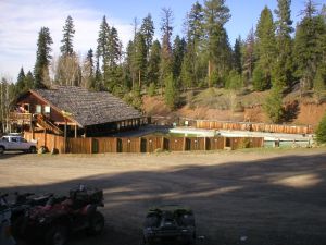
Lodging for night number two at Lehman Hot Springs, 17 miles east from Ukiah on Rte. 24. The hot pools were great. The cabins were tiny. The food was microwaved pizzas for $10 each. Regardless, it was great to be there.
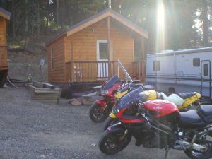
Our humble cabin. It was actually a trailer, and not quite level.
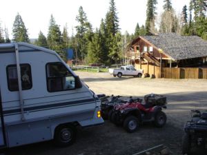
Lots of RVs camped there with ATVs for use on trails. This is popular for snowmobiling too.

Joseph in our cabin. It had one queen size bed and a set of bunk beds. Since Joseph slept on the cot the night before, he got the queen bed that night. The bunk beds had Winnie the Pooh sheets.
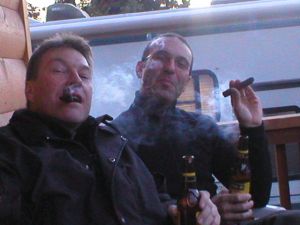
Ahhh, cigars on the front porch with a couple of Hefeweizens.