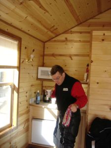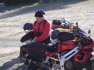
Getting ready for day three.
Jim's home | Motorcycle home | This ride's home

Getting ready for day three.
Jospeh chose to ride on to The Dalles on day three rather than do the nine hour ride that Dave and I ended up doing. We planned to meet in The Dalles at the end of the day, but Joseph got there so early he decided to bail and headed towards home.

It was cold enough for ice to form on our bikes that morning. Lehman Hot Springs is at a pretty high elevation.
This was a big year for snow in the northwest, and the road from Ukiah to Granite had only opened up a few days before we rode it. Some sections are above 5,000 feet. Rockfalls have yet to be cleared away.
The worst of the snow that we encountered covered the entire road except for a couple of thin tire tracks.
Fallen down trees blocked entire lanes in a few areas.
Gas in the town of Granite. In Oregon, by law, you can't pump your own gas. But the protocol for motorcycles is for the attendant to turn the pump on for you, hand you the nozzle and let you fill your own tank.
The entrance to the town of Granite.
Looking east around a nice turn to some very snowy mountains.
Dave on the road over Dooley Mountain. It was so great that we road the south side of it twice. This stretch along Rte. 245 south of the town of Baker City was HIGHLY recommended, and now we know way. Unfortunately there was quite a bit of gravel.
More linked twisties on Dooley Mountain.
The 38 mile road between Austin Junction and Rte. 395 along the Middle Fork of the John Day River is delightful. Very little straight road, gorgeous scenery, a changing river as the miles go by and absolutely no traffic.
Nice basalt formations along the road side.
We timed our gas stop to be at the town of Long Creek (population 150). Unfortunately, Long Creek's gas station had closed about eight months ago. Tommy (on left) was working on a go cart across the street, and I asked him if we could buy a gallon or two of gas from him. We lucked out. Casey (on right) and he scrounged up enough gas to get to the next town.
A typical gas station in this part of Oregon. Above ground tanks, manual pumps. No built in credit card readers here.
We called a handful of stores and restaurants on both sides of the road between Ukiah and Heppner to see if it was open yet after being warned that it might still be snowed in. It rises to well above 5,000 feet. No one knew if it was, so we chanced it and lucked out. It's a great 38 mile stretch of curvey, high quality pavement with no traffic. This picture shows the hay fields along the descent into the town of Heppner.
Leaving Heppner, south-bound on Rte. 206/207. This was a really nice stretch of curves heading up out of the valley.
Crossing the high plains between Heppner and Condon on Rt.e 206 was fascinating. I heard there were some good curves, and the map shows them, but expected a lot of straight road. This was not the case. I highly recommend this road.
A big horse shoe bend descending down into a deep canyon.
Just northwest of the town of Condon is a big wind farm with these cool, giant windmills. I'd guess that there are about 50 or a 100 of them. They all spin in unison and are eerie and distracting to drive by.